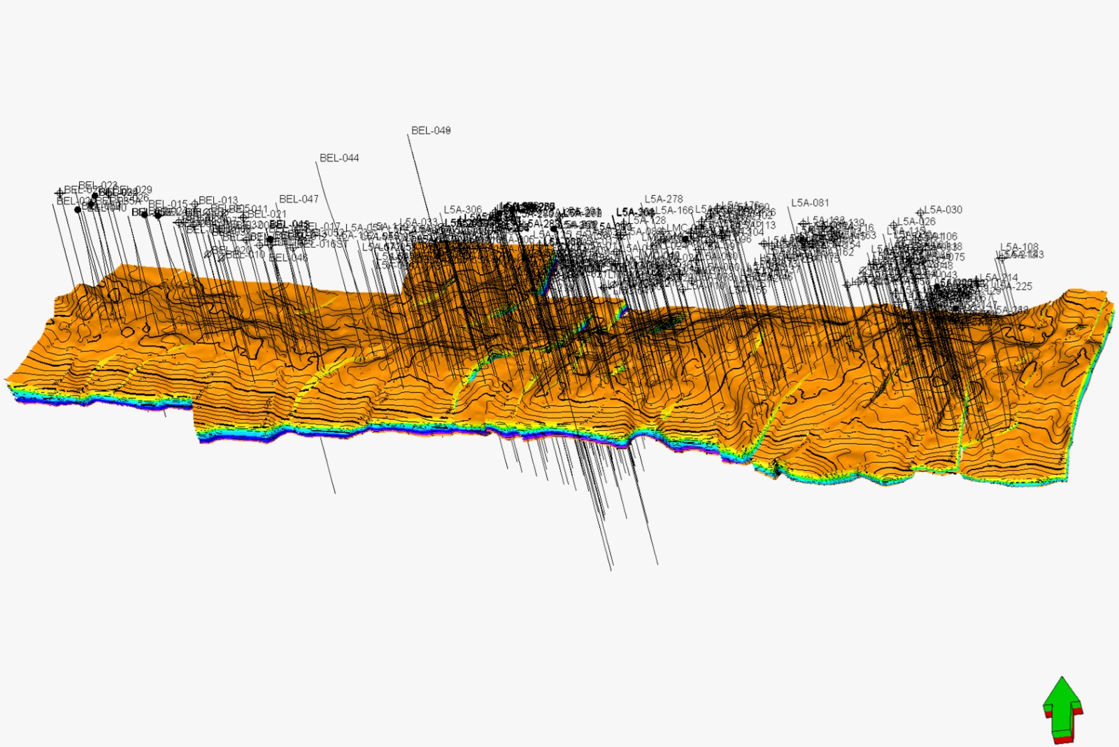
Integrated Subsurface & Reservoir Modeling: Advanced integration of geological, geophysical, and petrophysical data for comprehensive static and dynamic reservoir modeling.
Resource & Reserve Estimations: High-precision calculation of mineral and coal resources and reserves compliant with international and national reporting standards.
Conceptual & Facility Engineering Design: Front-End Engineering Design (FEED), conceptual layout development, and technical engineering specifications for mining, oil, gas, and energy infrastructure.
Comprehensive Feasibility Studies: Technical, economic, and operational feasibility studies (FS) to de-risk investments and secure project financing for major energy and resources developments.
Environmental & Social Impact Assessments: Development of comprehensive environmental assessment documents (EIA/AMDAL/UKL-UPL), environmental management plans, and sustainability compliance reporting.
Energy & Mining Support: Onshore seismic acquisition assistance, exploration surveys for mining, hydropower, and renewable energy projects.
Infrastructure & Building Surveys: High-precision engineering surveys, structural foundations support, and detailed topographic mapping.
Civil & Corridor Engineering: Long-and-cross section contour mapping, stake-out surveys, and corridor route surveys for pipelines, power lines, and highways.
Industrial Site & As-Built Planning: Comprehensive as-built surveys, drill rig site planning, and plant layouts verification.
3D Laser Scanning & Reality Capture: Terrestrial Laser Scanning (TLS) for advanced as-built documentation, facility mapping, and high-density 3D modeling.
Geodetic Control & Geodynamics: High-precision GPS/GNSS observations, GCP measurements, and long-term deformation, slope stability, and subsidence monitoring.
Geographic Information System (GIS): Asset & utilities database development (pipeline, road, gas distribution), tax/cadastral mapping, and hazard/risk vulnerability maps.
Airborne & UAV LiDAR Mapping: High-density LiDAR data acquisition, 3D terrain modeling, contour mapping, and corridor surveys for mining, forestry, and infrastructure.
UAV Photogrammetry & Remote Sensing: Precision drone mapping, automated oil palm census, concession boundary mapping, and vegetation index analysis.
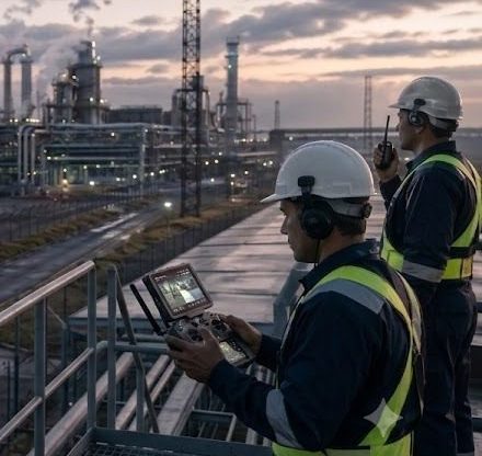
Aerial Surveillance & Monitoring: Real-time project progress tracking, pipeline right-of-way (ROW) surveillance, and industrial site security monitoring.
Geological, Geotechnical Mapping and Drilling Services
Geological Mapping & Fieldwork: Comprehensive field surveys, structural geology mapping, outcrop observations, and stratigraphic correlation for resource evaluation.
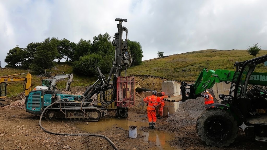
Mineral & Coal Drilling Exploration: Core drilling operations (NQ, HQ, PQ sizes), chip logging, sample management, and resource estimation support for mining concessions.
Geotechnical Drilling & In-Situ Testing: Geotechnical engineering drilling, Standard Penetration Test (SPT), Cone Penetration Testing (CPT/Sondir), and undisturbed sample (UDS) collection for civil construction foundations.
Hydrogeological & Groundwater Drilling: Deep well drilling, water well construction, pumping tests, and aquifer analysis for industrial, municipal, and commercial groundwater management.
Engineering Geology Studies: Slope stability analysis, rock mass rating (RMR), soil mechanics field assessment, and site investigation for infrastructure projects.
Geophysical Survey and Subsurface Imaging
2D Marine Seismic Operations: High-quality 2D marine seismic data acquisition, advanced processing, and onsite Quality Control (QC) for offshore hydrocarbon exploration.
2D Onshore Seismic Operations: Precision 2D land seismic data acquisition, processing, and strict data QC for deep geological and structural mapping.
Geoelectric & Resistivity Exploration: Multi-channel 2D/3D resistivity surveys, Induced Polarization (IP), and vertical electrical sounding for groundwater aquifer detection and mineral deposit exploration.
Advanced Geophysical Investigations: Controlled-Source Audio-frequency Magnetotellurics (CSAMT), Seismic Refraction, and Ground Penetrating Radar (GPR) for deep mining structures, oil and gas exploration, and hydropower site validation.
Underground Utilities & Engineering Geophysics: High-resolution shallow subsurface imaging for buried pipeline/cable detection, urban infrastructure planning, and civil engineering foundation support.
Metocean Studies, Hydrographic and Marine Survey
Metocean Studies & Oceanography: High-precision measurement and analysis of ocean currents, wave direction/height, tidal gauge deployment, and meteorological data for coastal and offshore engineering design.
Hydrographic & Bathymetric Surveys: Onshore, nearshore, and offshore singlebeam and multibeam echosounder (MBES) surveys, shipping channel charting, and pre/post-trenching volume calculations.
Analogue Geophysical & Site Surveys: High-resolution seabed and subsurface mapping utilizing Side Scan Sonar (SSS), Sub-Bottom Profiling (SBP), Marine Magnetometer, and marine geohazard assessments.
Pipeline & Cable Route Engineering: Pre-engineering route selection surveys, burial assessment, as-laid/as-built verification, and regular inspection of existing subsea pipelines and cables.
Offshore Positioning & Construction Support: Precision positioning for rig moves, barge deployment, anchor handling, jacket installations, and integrated ROV & commercial diving operational support.
Comprehensive laboratory measurements of porosity, permeability, fluid saturation, capillary pressure, relative permeability, and wettability characteristics.
Biostratigraphic & Palynological Analysis
High-resolution microfossil and pollen analysis for precise geological age determination, stratigraphic correlation, and depositional environment reconstruction.
Petrographic & Mineralogical Studies
Detailed thin-section petrography, rock fabric characterization, diagenetic history assessment, and mineral identification.
Advanced Materials Characterization (SEM & XRD)
Scanning Electron Microscopy (SEM) and X-Ray Diffraction (XRD) analysis for high-magnification clay mineralogy, pore-structure imaging, and elemental composition mapping.
Geomechanical Laboratory Testing
Static and dynamic rock mechanics testing, uniaxial/triaxial compressive strength, Young’s modulus, and Poisson’s ratio measurements for wellbore stability.
Enhanced Oil Recovery (EOR) Studies
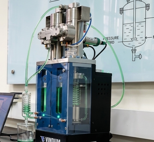
Laboratory coreflooding experiments, chemical/gas injection simulations, and fluid-rock interaction studies to optimize reservoir recovery mechanisms.